Tourism and business information center of Šiauliai district

Juodlė trail

Download GPX
Briefly about the route
Easy
3.9 km
50 min.
Route surface
100% Forest path

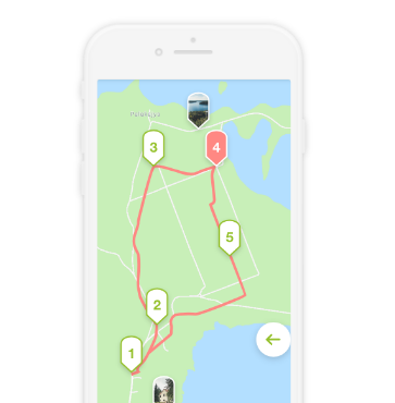
It is a 4-kilometer-long trail around the lake Juodlė, in the Ilga River Landscape Reserve. It has 12 stops. Along the way, you learn about the landscape, the forests typical of the park, the most important forest habitats, swamps, and rare species of plants, mushrooms and animals. There are info boards and observation towers installed along the trail, as well as a wooden path leading to the middle of the swamp. Start point coordinates 22.924126, 55.818028

Reviews

Comment

Smartphone app / Audio guide

It is an interactive, innovative, modern technology-based learning and cultural awareness tool for Lithuanian and foreign visitors to get to know important and unique cultural heritage objects and famous people in our country