
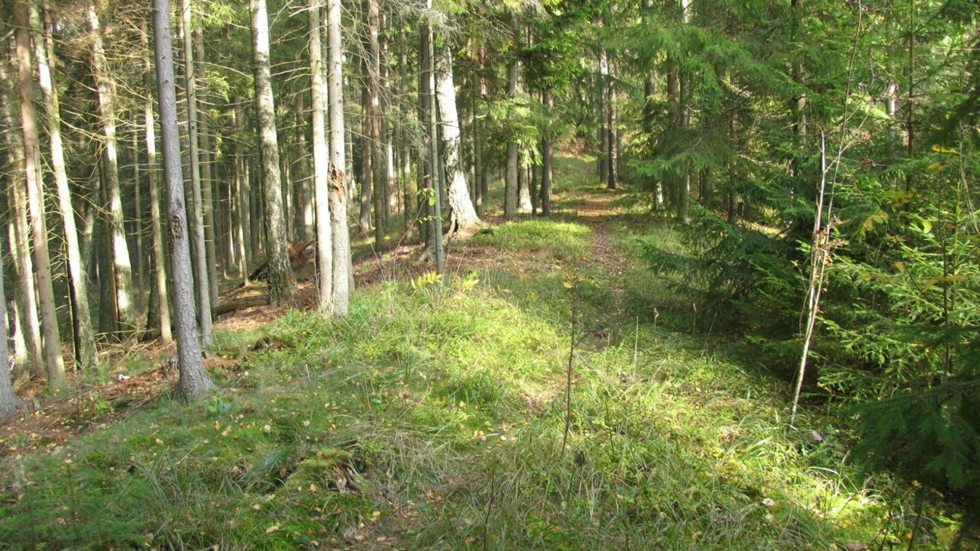
The total length of this pedestrian trail is 5.8 km. But as the trail is in the shape of eight, the trip can be shortened. The trail leads through the eskers of Targiai Geomorphological Reserve. Esker is a narrow and long hill of natural origin, extending between swamps like a labyrinth. There is a part of Karalmiškis ancient wood located here, which is a habitat of NATURA 2000 – a pine forest on the eskers. On your way, you can take a rest by the lakes of Vėžežeris and Šona. Start point coordinates 55.752967, 22.979436


Reviews