
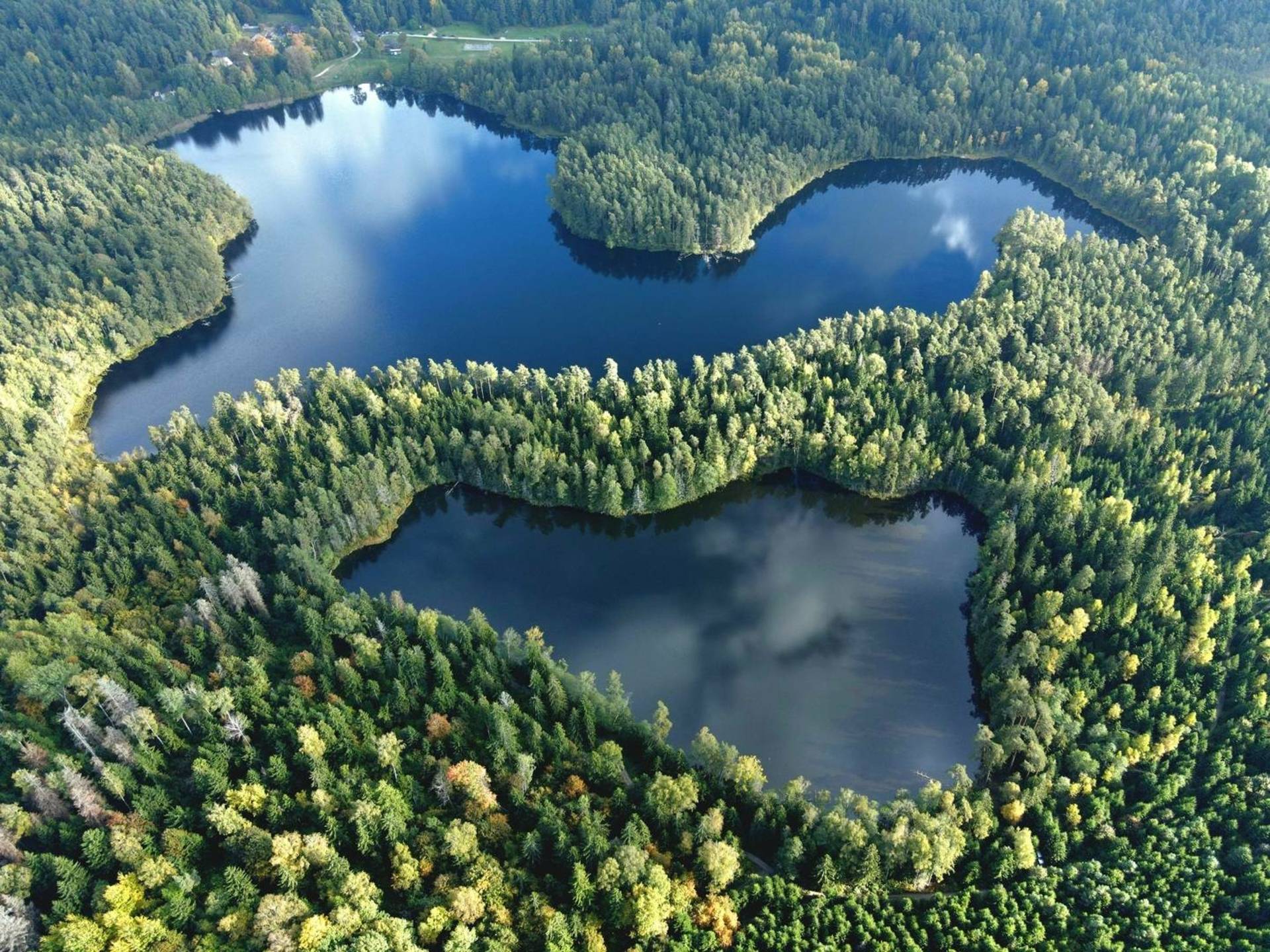
There are two circular routes in the Pageluvis Lake District – the large and the small. The large trail is 7.2 km long, and the small trail is 3.1 km long. Both trails start at Lake Geluva. As you approach Lake Dubukas, the routes diverge: the large one continues straight, and the small one turns left. On the other side of Lake Geluva, they reconnect.
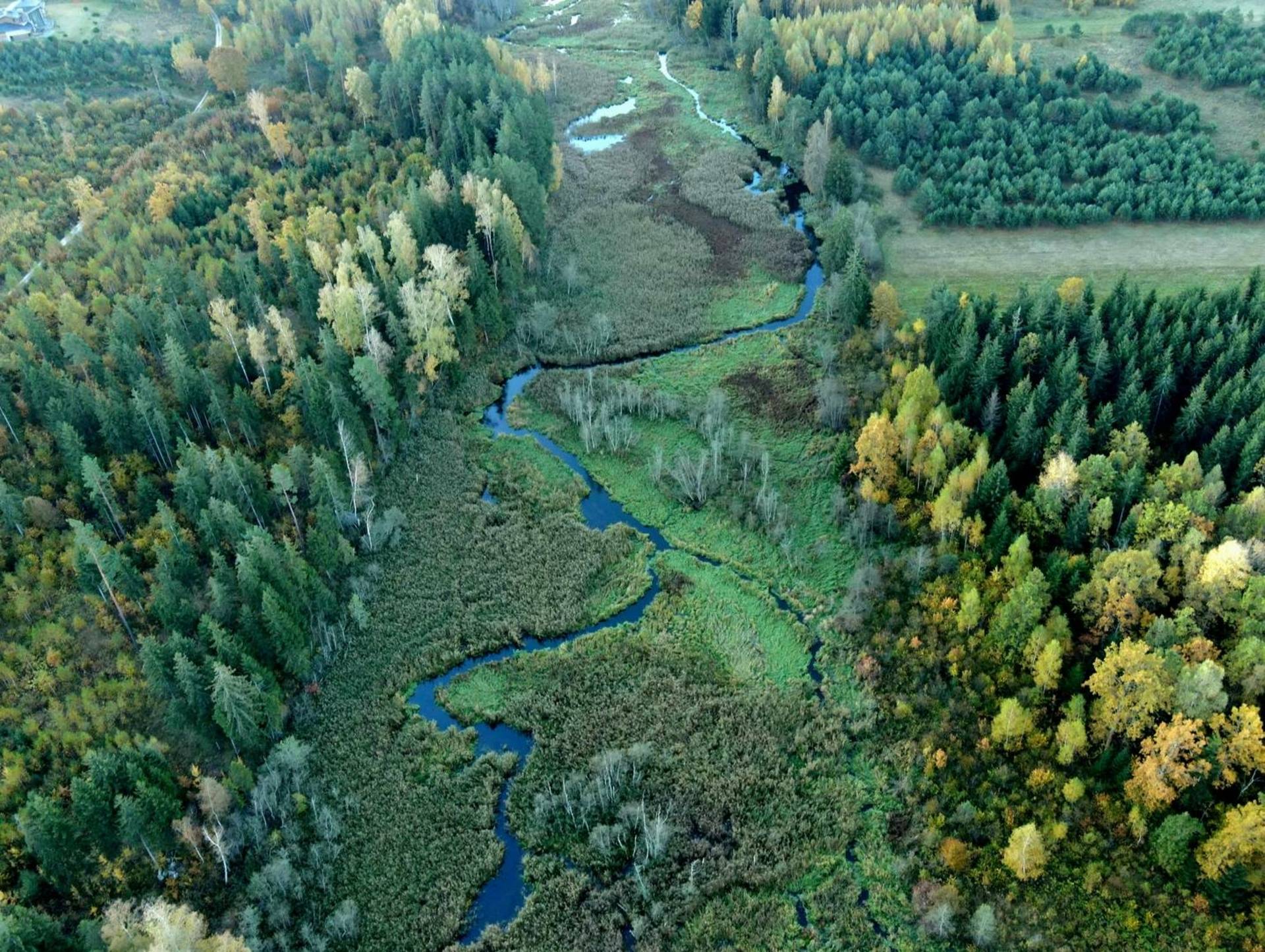
The road runs along various forest trails, paths and gravel roads. In the initial section, which passes through Barsukynas Oase and Pageluvis Mound, the terrain is hilly - there are many ascents and descents.
This is a cognitive route with information stands that provide not only information about the places of interest, but also a trail diagram with your current location. Both routes are marked with different signs: the small trail is marked with dark blue and 5-M markings, and the large one with light blue signs with 5-D markings.
At the beginning of the trail, near Lake Geluva, there are several observation points. Near the parking lot in the warm season, you can buy snacks and drinks, swim in the lake or use the sports grounds. There are almost no rest areas on the route itself, except for the possibility of stopping at the hillfort.
PAGELUVIS LAKE SMALL TRAIL (NO. 5-M)
A shorter 3.1 km hiking trail around 3 lakes. Pageluvis Landscape Reserve, introduces you to the forested, lake-filled hilly landscape. The trail starts at the Geluva Lake beach, leads through Pageluvis I and II mounds, Barsukynas oasis, along Barsukynas and Dubukas lakes. While traveling along the trail, you can deviate a little from the road and visit the mysterious, swampy Niauka Lake.
Starting coordinates (WGS): 55.79776, 23.103825.
PALGUVIS LAKE GREAT TRAIL (NO. 5-D)
A longer 6.6 km hiking trail through the expressive Pageluvis Lake District, where you will get acquainted with the landscape of a forested, lake-filled hilly area. The trail begins at the Geluva Lake beach, passes through the Pageluvis Landscape Reserve, Pageluvis I and II mounds, Barsukynas oasis, along Barsukynas and Dubukas lakes. Here the large trail separates from the small trail and goes past the green-watered Širva Lake, the oldest Zuikiškės oak in the park, Kurtuva Lake and a stream, and the largest Bijotė Lake in the park. While traveling along the trail, you can deviate a little from the road and visit the mysterious, swampy Juodežeris and Niauka lakes.
Starting coordinates (WGS): 55.79776, 23.103825.
+1
Atsiliepimai